


Verifying legal boundaries when acquiring, developing, or managing real estate assets requires a rigorous data protocol. Locating how to find property lines with legal precision goes beyond inspecting visual fence lines or basic GIS overlays-it demands cross-referencing recorded subdivision plats, metes-and-bounds legal descriptions, and certified ALTA/NSPS boundary surveys.
The required certainty depends on the intended use. Landscaping requires less verification than installing a fence, purchasing land, constructing a building, or resolving an encroachment.
Confirm the Correct Parcel
Start with the full address, municipality, county or equivalent jurisdiction, parcel number, legal description, and subdivision or lot reference when available.
One address may cover several parcels. Condominiums, planned communities, rural tracts, and commercial sites can also involve separate units, common areas, easements, or adjoining lots.
Match every map and document to the correct parcel before relying on it. Use the same parcel identifiers when researching property ownership so boundary documents and ownership records refer to the same property.
Treat Physical Features as Clues
Possible boundary evidence includes iron pins, pipes, concrete monuments, marked stones, survey stakes, walls, fences, hedges, and changes in pavement or landscaping.
A fence may sit inside a boundary, follow an informal agreement, or have been installed incorrectly. Survey stakes can be moved, damaged, or connected to construction rather than ownership.
Do not disturb a suspected monument. Photograph its condition and location for comparison with available plans or professional survey findings.
How to Find Property Lines From Existing Records
Search the local assessor, recorder, registry of deeds, land records office, or planning department for:
- Current and prior deeds
- Recorded subdivision plats
- Parcel or assessor maps
- Existing survey plans
- Legal descriptions
- Easement or right-of-way documents
A deed may describe land through lot references, bearings and distances, monuments, or adjoining parcels. Correct interpretation may require surveying expertise.
Assessor maps can help locate parcels and neighboring lots, but they are commonly prepared for taxation or reference. They should not be treated as legally precise boundary plans.

Use Digital Parcel Maps Cautiously
County GIS vector layers and aerial imagery overlays provide valuable preliminary spatial data during initial site evaluation. However, because public GIS databases often suffer from imagery alignment offsets and scale distortions, digital overlays cannot replace field-verified boundary surveys during due diligence.
A cadastral map contains information about land parcels, but the accuracy, legal status, scale, and update schedule of a particular map depend on its source.
Parcel outlines may appear shifted over aerial photographs because of imagery alignment or mapping methods. Phone location services and consumer applications also lack boundary-survey precision.
Review Plats and Existing Surveys
A recorded subdivision plat may show lot numbers, dimensions, bearings, streets, easements, rights-of-way, and established monuments.
An existing survey may provide field findings. Check its date, purpose, property description, surveyor, certifications, monuments, easements, and whether a later transfer or subdivision changed the parcel.
A plan prepared for construction, a mortgage, permitting, or topography may not constitute a complete boundary survey. Read its title, notes, certifications, and limitations.
Request a legible recorded copy if the available image is incomplete.
Know When a Boundary Survey Is Needed
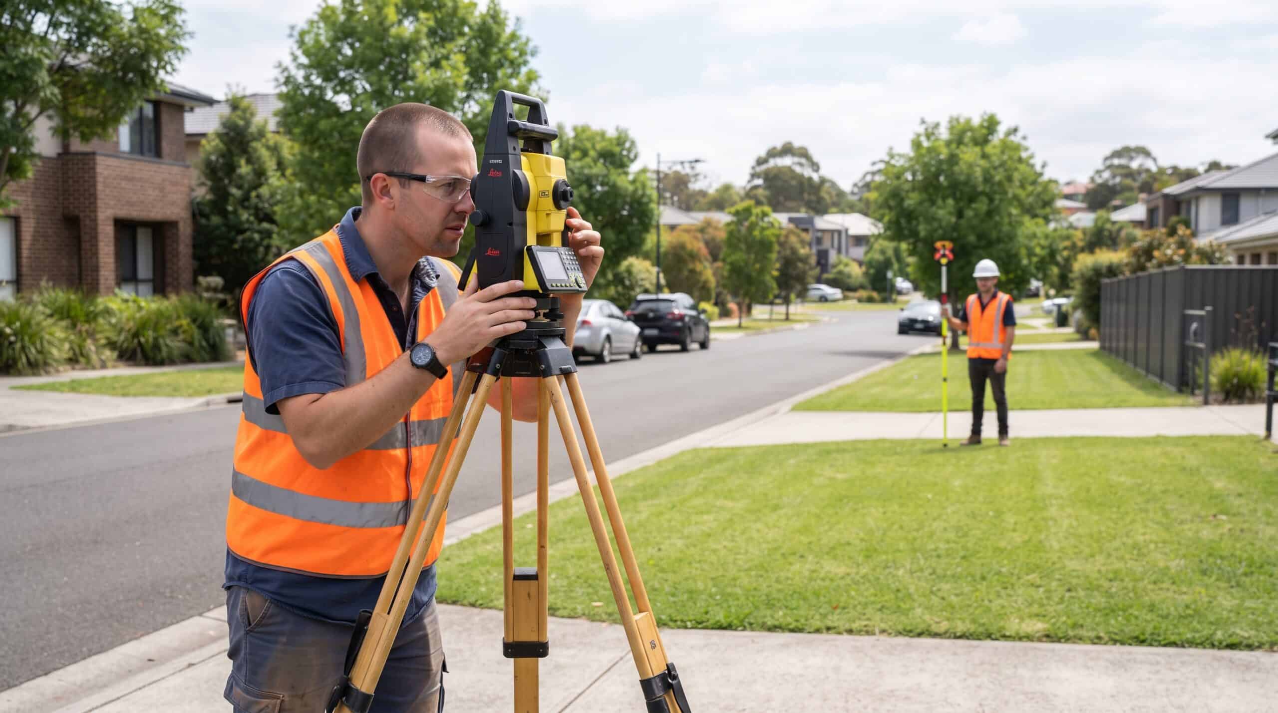
A reliable answer to how to find property lines for a permanent or disputed use often requires a licensed professional land surveyor.
A boundary survey may involve reviewing deeds, plats, neighboring records, title information, monuments, occupation evidence, and field measurements. The surveyor reconciles that evidence under applicable law and professional standards.
Consider obtaining a survey before:
- Installing a fence, driveway, wall, or structure near a suspected line
- Purchasing or subdividing land
- Addressing an encroachment
- Granting or locating an easement
- Starting work where setbacks depend on the boundary
- Relying on acreage or dimensions in a transaction
Survey standards, deliverables, monument-setting rules, and recording practices vary by jurisdiction. Confirm the scope in writing.
Separate Utility Marks From Boundaries
Utility-location services identify the approximate location of participating buried utilities. Paint, flags, or stakes placed during a utility locate do not mark ownership boundaries.
In the United States, contact 811 or the applicable state service before digging and follow its instructions. Utility locating and boundary surveying address different risks.
A utility line, pole, meter, or drainage feature may also lie within an easement rather than directly on a boundary.
Review Easements and Setbacks
Even an accurately located boundary does not show every restriction on land use. Easements, rights-of-way, setbacks, restrictive covenants, zoning rules, and permit conditions may affect where improvements are allowed.
Review title materials, recorded documents, zoning information, and development requirements. A surveyor can depict certain matters within the agreed scope, while legal interpretation may require an attorney.
Being inside the boundary does not automatically authorize a proposed improvement.
Standardize Transaction Document Workflows
Property-line questions can affect inspections, due diligence, financing, title review, construction planning, and closing decisions.
Commercial acquisitions and site developments require strict document workflows. Integrating a specialized real estate transaction coordinator into your operational pipeline optimizes survey ordering, title commitment audits, easement documentation, and deadline tracking for complex closings.
Keep the deed, plat, survey, title materials, correspondence, photographs, and unresolved questions together. Record each item’s source and date.
Address Disagreements Carefully
The process of how to find property lines becomes more sensitive when neighbors disagree. Do not move monuments, remove fences, cut vegetation, enter adjoining land, or begin construction based only on an online map.
Compare the available deeds and surveys, document the issue, and consult a licensed surveyor. If ownership, easement rights, encroachment, or legal remedies are disputed, obtain qualified local legal advice.
Match the Evidence to the Decision
Uncovering how to find property lines with total legal accuracy depends on matching boundary evidence to transaction risk. Relying on rough visual estimates creates boundary disputes, closing delays, and costly title exceptions.
Handing off high-volume due diligence tasks-such as gathering plat maps, auditing title commitments, tracking survey deliverables, and organizing closing files-to remote specialists from Vesta VA enables deal leads to focus on site selection, underwriting, and closing execution.